Amata Canyon Trail: A Scenic Walkthrough
Distance, elevation, water access points, and rest spots along this gorgeous canyon route. Don't miss the viewpoint at kilometer three.
Why Amata Canyon Stands Out
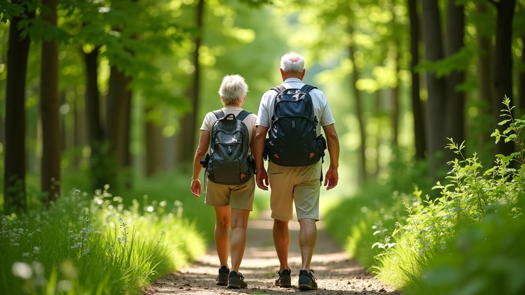
The Amata Canyon Trail isn't just another hiking route—it's a carefully maintained path that combines natural beauty with genuine accessibility. We've hiked this trail dozens of times with groups ranging from 60 to 80 years old, and it consistently delivers. The river views are spectacular, the elevation gain is manageable, and there's plenty of places to rest without feeling rushed.
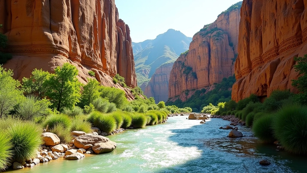
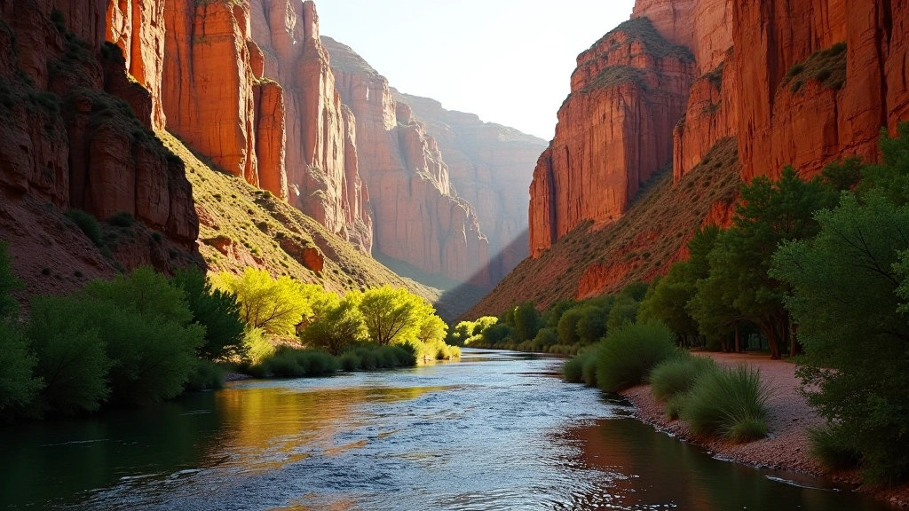
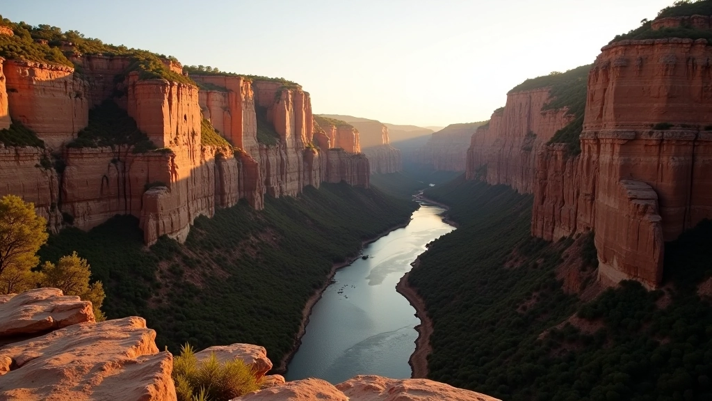
What makes it special is the sandstone cliff formations. They're honestly stunning—golden-red rock walls rising above the water, creating this enclosed canyon feeling that you won't get on the valley floor trails. Plus, the trail gets maintained regularly, so you're not dealing with overgrown sections or sketchy footing.
The Route: What to Expect
The full loop is 7.5 kilometers and takes most people 2.5 to 3 hours at a comfortable pace. You're looking at roughly 120 meters of elevation gain total, spread across the route—nothing brutal, but you'll definitely feel it in your legs by the end.
The trail splits into two directions from the main parking area. We typically recommend going left first, which takes you along the river's edge for the first 2.5 kilometers. This section is the most scenic—that's where you get the canyon walls, the water access points, and that killer viewpoint we mentioned. The right fork circles back through the forest and is slightly easier terrain-wise, which works well as your "cool down" section.
- Total distance: 7.5 km (4.7 miles)
- Elevation gain: 120 meters (390 feet)
- Estimated time: 2.5–3 hours
- Difficulty: Intermediate (some uneven sections)
- Best season: May through September
Water Access Points & Rest Spots
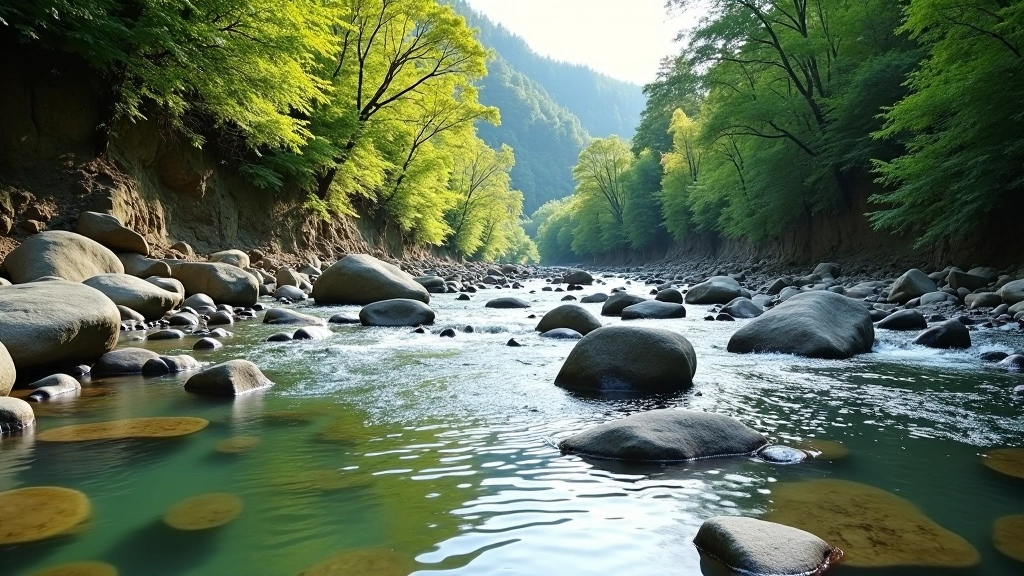
You'll find three main spots where you can safely access the river. The first is at kilometer 1.2, right after you leave the initial forest section. The water's clear and cold—perfect for refilling your bottle or soaking your feet if you need a break. There's a small flat area here that's ideal for sitting down.
The second access point, around kilometer 3, is where that viewpoint is. This is legitimately gorgeous. You're standing above the river with the canyon walls rising on both sides. We've had groups sit here for 15-20 minutes just taking it in. There's a natural stone "bench" formation—seriously, it looks like someone carved it out intentionally.
The third point is at kilometer 5.5, where you loop back. It's less dramatic than the viewpoint, but there's a clearing with shade from the trees. You're getting tired by this point, so honestly, any rest feels good.
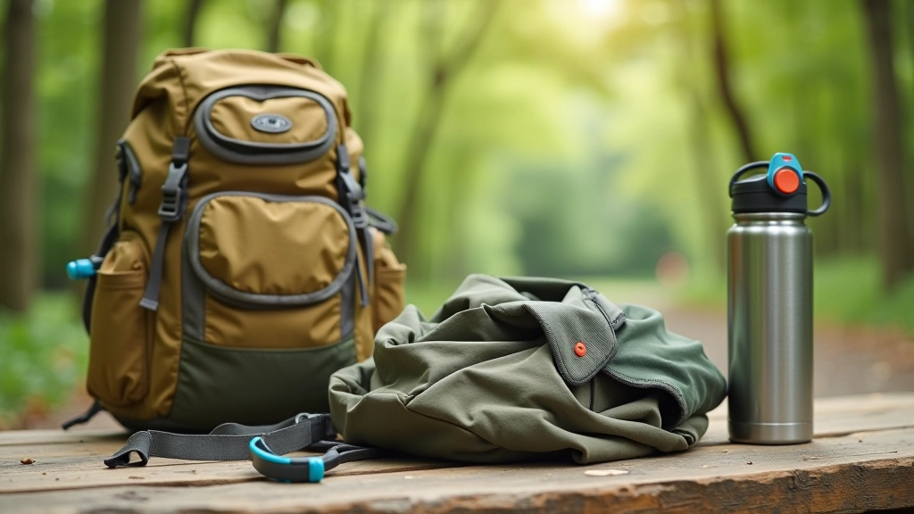
Pro tip: Bring a water bottle with a filter or purification tablets. The river water is generally clean, but treating it is the smart move. Don't rely on the river as your only water source—bring at least 1.5 liters from home.
The Kilometer 3 Viewpoint: Don't Skip It
This is the highlight. You'll know you're close when the canyon walls start getting taller and the path narrows a bit. Around kilometer 2.8, you'll see a wooden railing on your left—that's the signal. Another 200 meters and you're there.
The viewpoint itself isn't fancy. There's no observation deck or anything. It's just a natural widening of the trail with a view straight down the canyon. On a clear day, you can see about 400 meters up the river before the canyon curves out of sight. The sandstone walls are maybe 40-50 meters high at this point, and they're this beautiful rusty-red color that changes shade depending on the light.
We recommend sitting for at least 10 minutes. Bring a snack. Let your legs rest. This is genuinely one of the better views in the Gauja region, and it's worth savoring rather than rushing through.
Continue Your Learning
Trail Conditions & Terrain
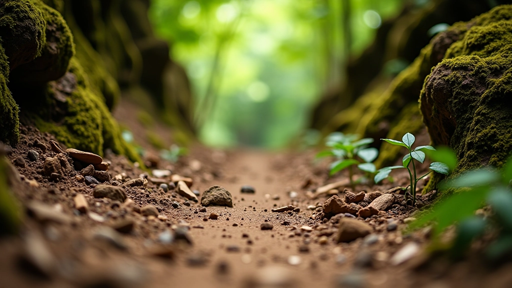
The trail is well-maintained, but it's not paved or smooth throughout. You're dealing with packed earth, some gravel sections, and tree roots in the forest portions. Nothing technical—we're not talking scrambling or rock climbing—but you do need stable footing and a decent sense of balance.
The river-side section (kilometers 0–3) has the most uneven ground. Rocks, exposed roots, and slight elevation changes keep you engaged. The forest loop (kilometers 3–7.5) is smoother overall, which is why we suggest doing it as your "return" section when your legs are more tired.
Trekking poles aren't required, but they're genuinely helpful here. They reduce stress on your knees going downhill, improve stability on uneven ground, and honestly, they just make the whole experience feel more comfortable. Most people we've guided use them on this trail.

Final Thoughts
The Amata Canyon Trail delivers. You're getting genuine scenery, manageable distance, and that feeling of accomplishment when you complete it. The canyon itself is special—there's something about being surrounded by those red sandstone walls that makes you feel like you've really gone somewhere, even though you're only 7.5 kilometers from your car.
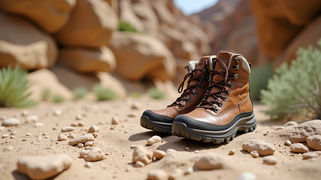
Come prepared with water, wear comfortable hiking boots, and don't skip the viewpoint at kilometer 3. Take breaks when you need them. This isn't a race. You've got time to enjoy it, and honestly, that's the whole point.
Important Disclaimer
This article provides educational information about the Amata Canyon Trail for informational purposes only. Trail conditions, weather, and access can change. We recommend checking current conditions with local authorities before heading out. If you have health concerns or questions about whether this trail is suitable for you, consult with your healthcare provider. Always hike responsibly and follow Leave No Trace principles.